“The views expressed are those of the author and do not necessarily represent those of the National Weather Service.”
Please keep in mind the ESRL/PSD GSDM web link, below, while reading this discussion.
http://www.cdc.noaa.gov/map/clim/gsdm.composites.shtml
Please see links below for global SST details. This posting will be extremely short and hopefully coherent. A significant motivation to put “something out” is the extremely interesting on-going behaviors of the weather-climate dynamical system.
http://www.wmo.int/pages/prog/wcp/wcasp/enso_update_latest.html
http://iri.columbia.edu/climate/ENSO/currentinfo/technical.html
http://www.pmel.noaa.gov/tao/jsdisplay/
http://www.cdc.noaa.gov/forecast1/IndoPacific.frcst.html (note the initial projection)
http://www.cpc.ncep.noaa.gov/products/precip/CWlink/MJO/index.primjo.html (link 19)
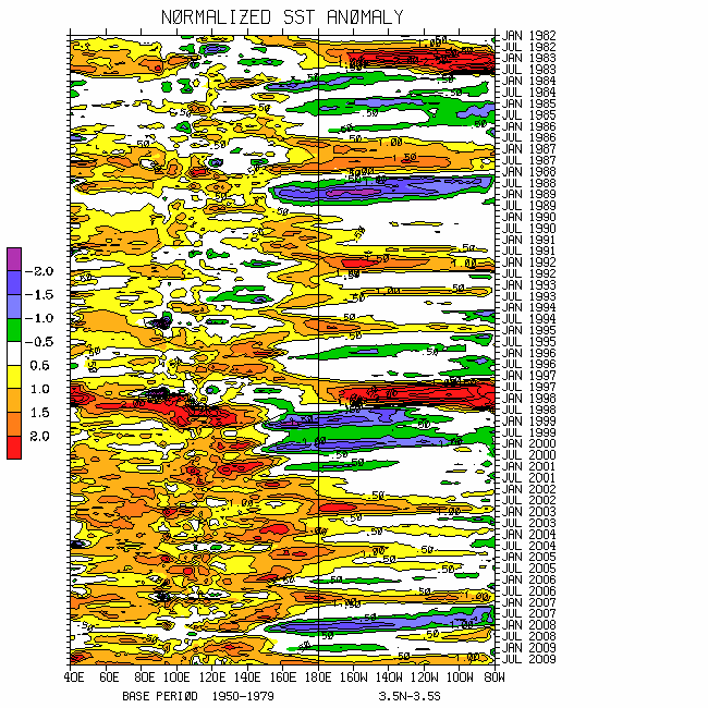
http://www.cdc.noaa.gov/map/images/sst/sst.long.time.io.gif
Perhaps the “miracle” I was asking for per my last posting (14 March) is evolving. Multiple regions of enhanced tropical convective forcing are occurring across the globe. These include the quasi-stationary La-Nina signal ~0/100E, a “mixed GWO/MJO component” ~10S/155E, portions of northern Southern America and
A well defined subtropical wave train (~25N) progressing through
A probable regional-scale response will not only be the continued strengthening of the STJ impacting the southern USA, but possibly an eventual extension of the EAJ collapsing to more western states troughs ~weeks 2-3. These troughs may extend farther south helping to dampen areas experiencing drought. A superposition of phases 7-8-1-2 (models will struggle) of the snr 250mb psi MJO and GWO composite anomaly plots may best depict this situation.
Whether or not this subseasonal event is the start of a slow transition involving ENSO is unclear. Re-iterating, numerous GWO considerations tell us the La-Nina circulation anomalies will stick around. An important monitoring issue will be to see how intense zonal mean easterly wind flow anomalies become across the Southern Hemisphere subtropics during austral winter. Weather ramifications are understood, including internationally.
Appendix
All presentations from the 24 February 2009 GWO workshop are available via anonymous ftp. If you have not received information on how to retrieve these, let me know. There was excellent attendance at this day-long event, and feedback was strongly positive. We appreciate all the support!
Links to CPC and PSD ENSO discussions, and a new experimental forecast technique involving a coupled LIM (3rd link below):
http://www.cpc.ncep.noaa.gov/products/analysis_monitoring/enso_advisory/index.shtml
http://www.cdc.noaa.gov/people/klaus.wolter/MEI/
http://www.cdc.noaa.gov/forecasts/clim/
The following are links to information about the stratosphere and other nice monitoring tools:
http://ds.data.jma.go.jp/tcc/tcc/products/clisys/index.html
http://code916.gsfc.nasa.gov/Data_services/met/ann_data.html (new stratosphere link!)
The following is a link to NCEP model verifications (surf around for lots more) :
http://www.cpc.ncep.noaa.gov/schemm/z500ac_wk2_na.html
The following is a link discussing recent global weather and related events:
http://www.wmo.ch/pages/mediacentre/news/index_en.html
These are probabilistic statements. We hope that an opportunity will arise for us (soon) to allow our dedicated web page effort to mature, expediting objectively and accountability. This web page effort will hopefully include an objective predictive scheme for the GWO with hindcasts.
The WB (2007) paper on the GSDM has been published in the February issue of MWR. The first of a two-part paper, where WB formally introduce the GWO (WB (2009)), is (still) awaiting publication in MWR. A pdf of an in press version can be downloaded from the following link:
http://www.cdc.noaa.gov/map/clim/wb08_revised_final.pdf
In addition to the subseasonal snr composite anomaly plots, we would like near real-time discussions with “weather maps” to become a routine part of the ESRL/PSD GSDM web site sometime soon. Part-2 of our GWO paper will discuss the latter. We want to emphasize notions such as global-zonal mean-regional scale linkages as well as forcing-response-feedback (with subsequent interactions) relationships. An important purpose is to provide a dynamical weather-climate linkage framework to evaluate the numerical models in a sophisticated manner as part of a subseasonal (and any time scale) forecast process, in addition to a climate service for all users. Relying on the numerical models alone is a cookbook, extremely unscientific, and makes the Rottweiler VERY angry!
I am planning on posting a complete discussion next weekend, 27-29 March. Will it still be the “same atmosphere different day (SADD)”?
Ed Berry
No comments:
Post a Comment